What We Believe
Reclamation is a systems problem. Terrain, water, soil, and vegetation must function together. If the system cannot self-regulate, the work is not complete.
Stability is Observable
We judge success by what the land does, not what reports claim. The land either holds, drains correctly, and persists, or it fails.
Persistence is Proof
A site is not reclaimed because it looked good once. Stability must repeat through weather cycles and seasons without corrective action.
Land Function Standard Method
The method follows three phases: diagnose, design, and prove. Each phase uses measurable indicators.
1) Diagnose
- Where does water concentrate and accelerate?
- Where do slopes fail or shed material?
- Where will sediment export persist?
- What landforms are unstable by design?
2) Design
- Correct drainage routes and concentration points
- Reduce slope energy and failure vectors
- Build landforms that self-regulate
- Prioritize low-intervention stability
3) Prove
- Validate across multiple seasons
- Use repeatable observable indicators
- Document evidence tied to land behavior
- Reject appearance-only success claims
Evidence Rules
We separate real reclamation from cosmetic repair using evidence rules that are hard to fake.
Evidence We Accept
- Stable terrain behavior across seasons
- Correct hydrologic routing and reduced sediment export
- Soil stability trends that persist without correction
- Vegetation response that reflects stability, not maintenance
- Repeat indicators after weather events
Evidence We Reject
- Cosmetic grading without hydrologic correction
- Green cover that requires constant intervention
- Reports that don’t match observable land behavior
- Short-term monitoring presented as long-term stability
- Compliance achieved without land performance proof
Core Definitions
These terms are the operating language of the standard.
Land Function
The ability of terrain and water systems to self-regulate erosion, drainage, and stability over time.
Observable Evidence
Indicators you can measure in the landscape and verify across time.
Seasonal Persistence
Repeated stability through wet/dry cycles without corrective action.
Low-Intervention Stability
Stable landforms without ongoing maintenance, repair, reseeding, or constant regrading.
Foundational Documents
The Land Function framework is supported by technical, operational, and summary documents that explain the method, the purpose, and the long-term vision of measurable reclamation.
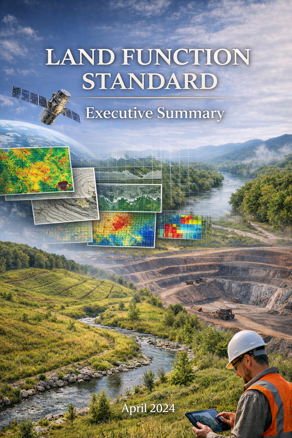
Land Function Standard Executive Summary
A concise overview of the Land Function framework for operators, regulators, institutions, and stakeholders.
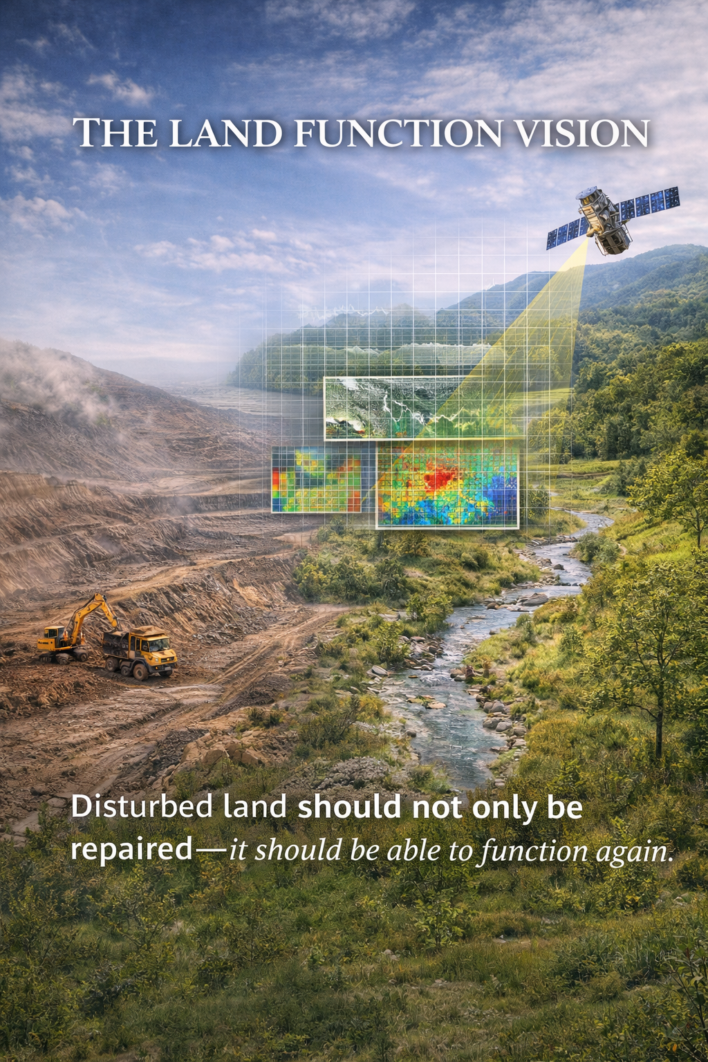
The Land Function Vision
A forward-looking statement describing why disturbed land should not only be repaired, but should function again through measurable recovery.
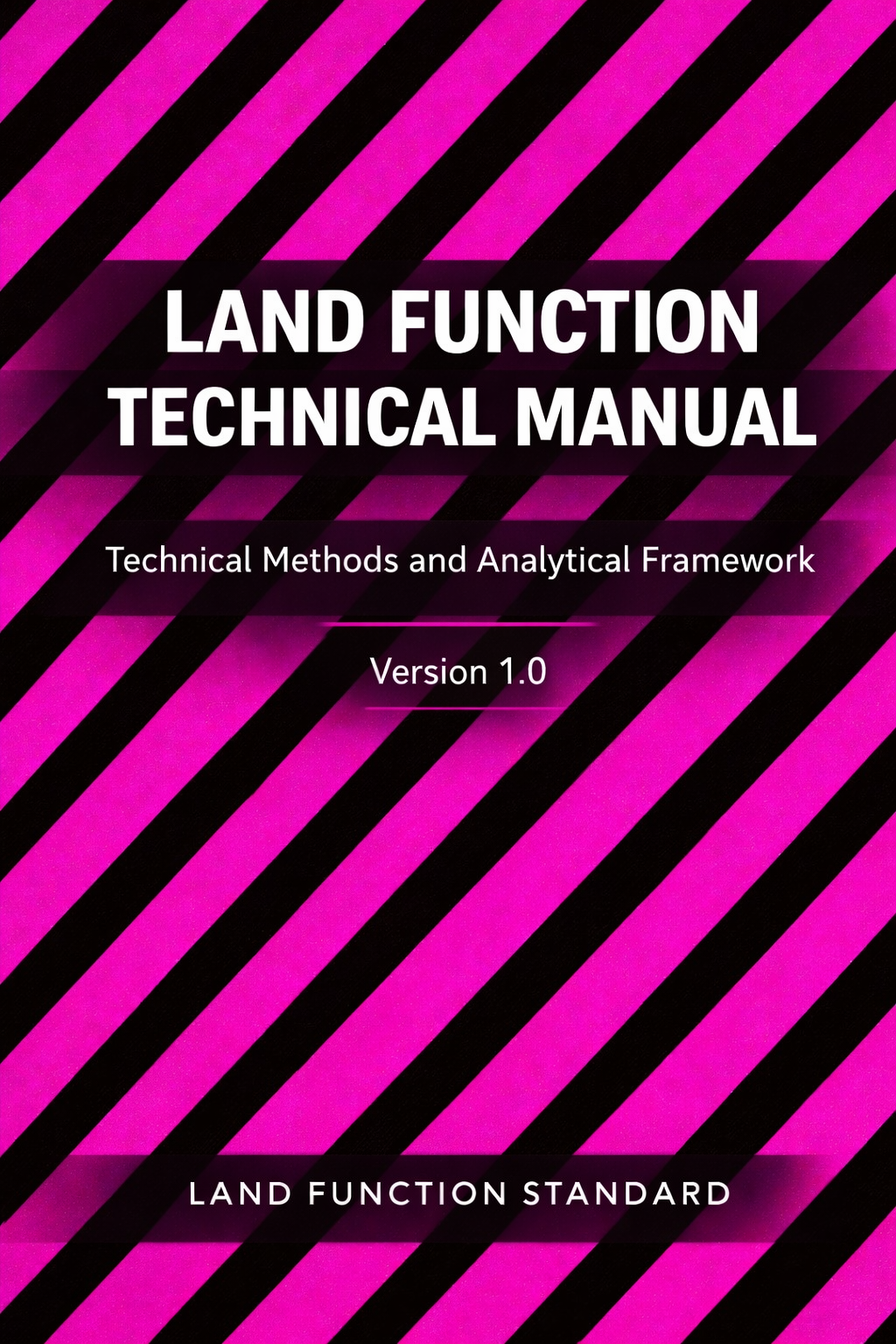
Land Function Standard Methodology
The technical foundation of the standard, including logic, indicators, and measurable evaluation criteria.
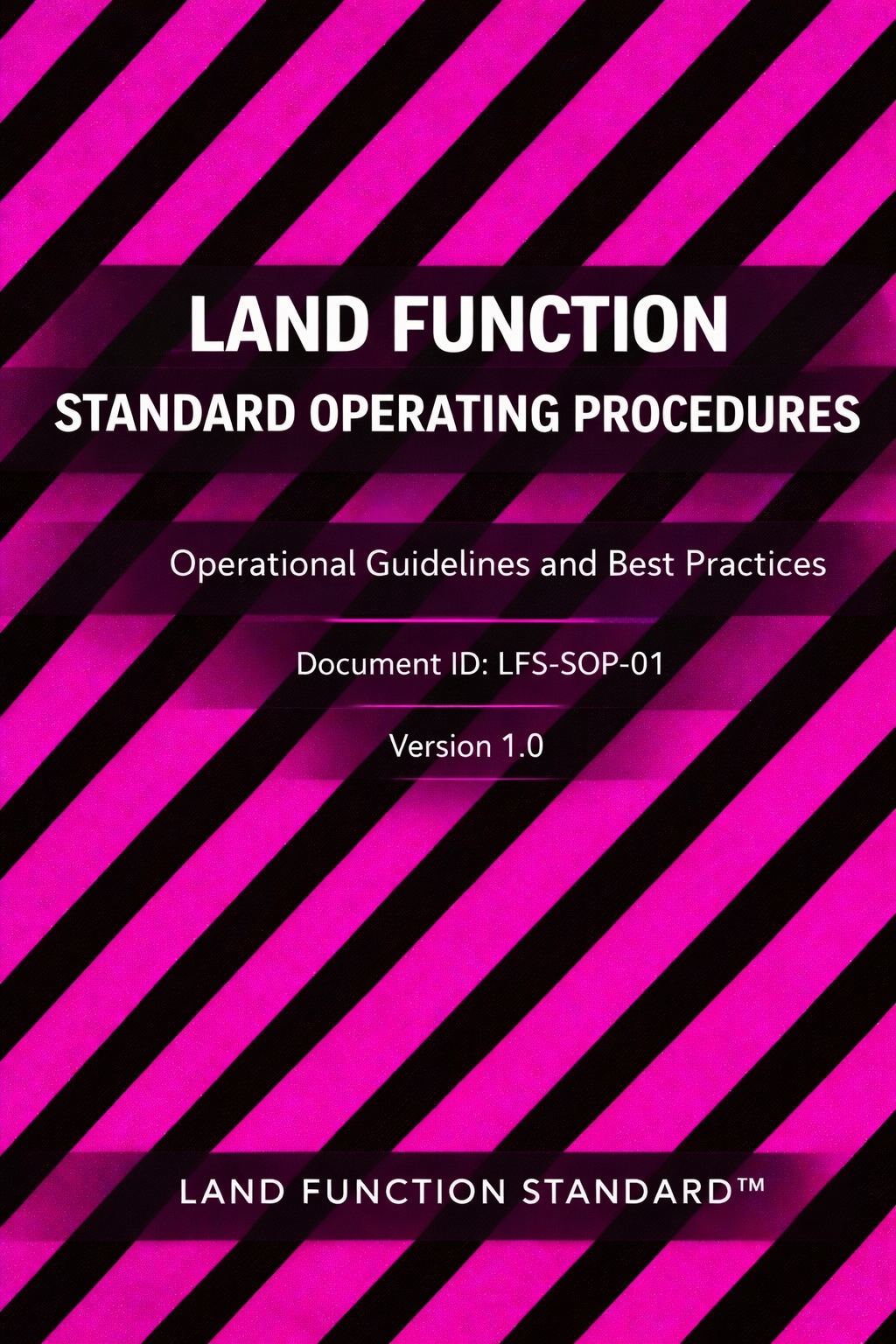
Land Function Standard SOP
The operating procedures used to apply the method consistently in field review, documentation, and assessment.
Land Function Standard Field Handbook
A practical field guide for observing terrain, water behavior, soil condition, and vegetation response.
Get the Method
Start with the course track that teaches how to diagnose land failure patterns and prove stability using measurable indicators.